
Why visit
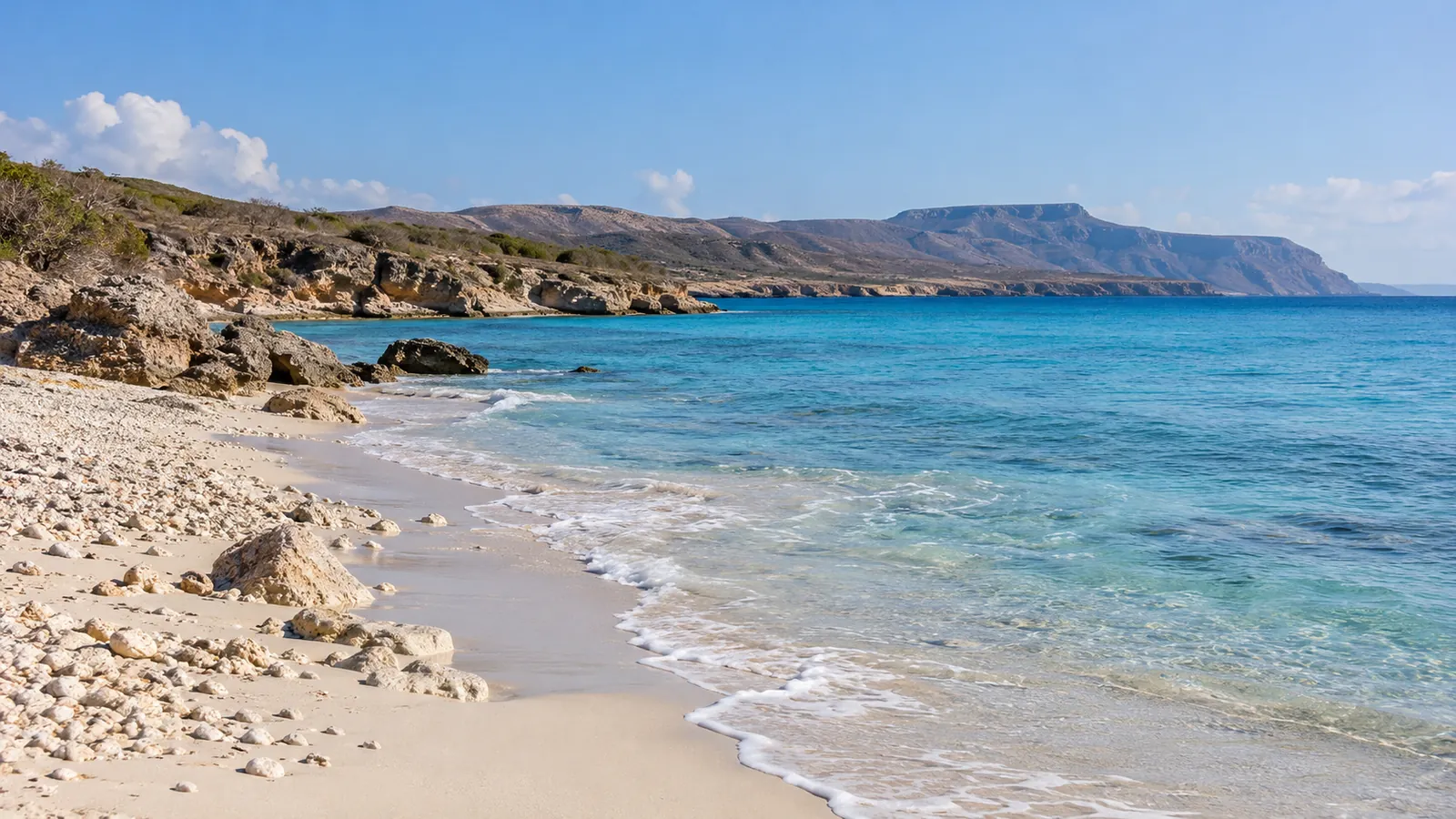
Town beachfront separate from Playa Cabo Rojo. Pin represents the mapped beach area; verify shore access, works and sea conditions locally, and do not infer safe swimming from a map.
Plan your visit
- Waterfront orientation point; check ongoing works, permitted access and sea conditions before visiting.
- Check the linked source and confirm current access and opening hours before travelling.
- Arrange your return transport; map distances are straight-line estimates, not road routes.
Distances are straight-line estimates, not walking routes.
Map ↗Nearby

Navío Beach Club
Seafood restaurant and bar by Faro Miramar; check evening service.
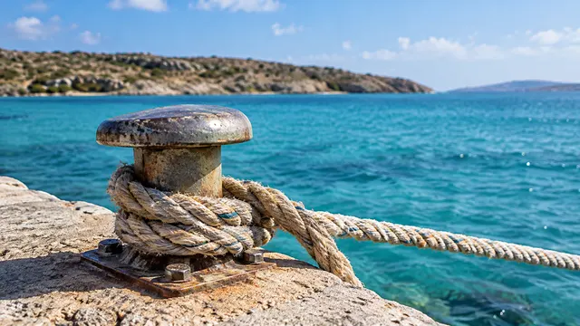
Puerto de Pedernales — zona portuaria
Mapped town port beside the waterfront, distinct from Port Cabo Rojo. Port and marina grounds may be controlled; no scheduled public ferry, tour boarding or unrestricted access is implied. Confirm any departure with your operator. A mapped point is not permission to enter. Confirm authorized visitor access; some areas are restricted.
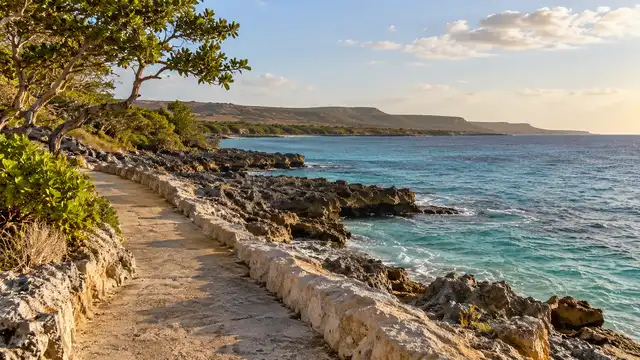
Malecón de Pedernales — paseo existente
Existing mapped waterfront path for coastal views. Other malecón and boulevard segments are tagged as under construction or closed; verify usable sections and respect barriers. The pin does not authorize access to the works or port grounds.
Comedor Madre
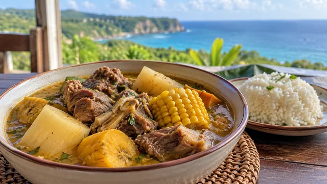
Local dining venue mapped near the Miramar waterfront. Confirm the current meal service and entrance.