
Guides
Cabo Rojo lies on the southwest coast of the Dominican Republic. Compare coastal stays in Cabo Rojo or La Cueva with a base in Pedernales town.
Neighborhood
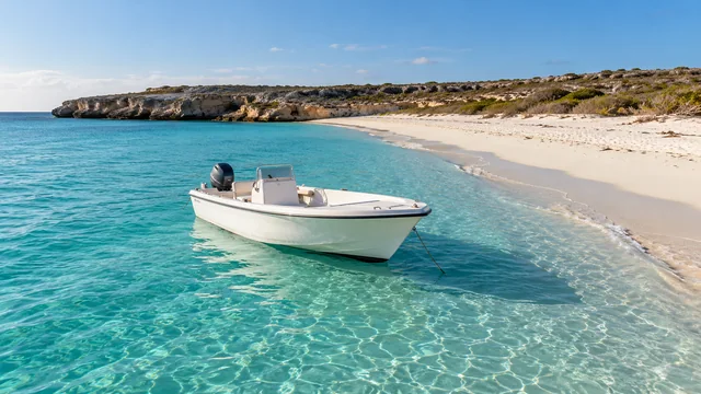
Bahía de las Águilas Boat Tour
Boat excursion from Las Cuevas to the protected beach; confirm boarding, sea conditions and inclusions.
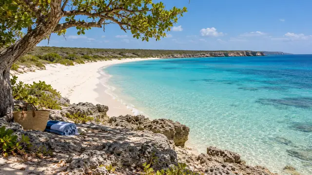
Cabo Rojo and Bahía de las Águilas Full-Day Tour
Coastal stops, a boat trip and a meal at Las Cuevas; confirm the actual itinerary and pickup.
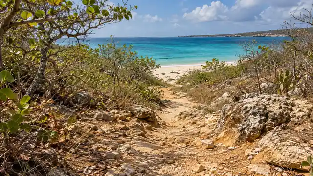
Cabo Rojo Beach and Coastal Adventure
Land-based outing covering beaches and viewpoints; access and swimming stops depend on local conditions.
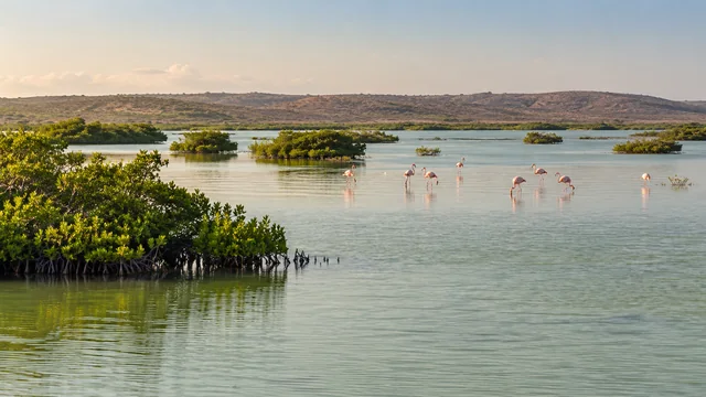
Laguna de Oviedo Wildlife and Flamingo Tour
Lagoon boat experience focused on birds, mangroves and iguanas. Sightings vary; confirm the visitor-center meeting point.

Hoyo de Pelempito Mountain Viewpoint Tour
Mountain excursion to the Pelempito viewpoint; check access, road conditions and transport.
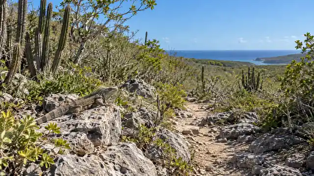
Jaragua National Park Nature and Wildlife Tour
Guided dry-forest, wildlife and coastal excursion. This regional access anchor is not the agreed trailhead.
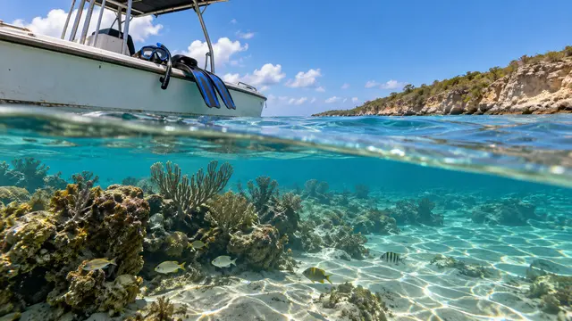
Cabo Rojo Snorkeling and Marine Life Experience
Boat snorkeling with sites selected for conditions; discuss swimming ability, equipment and supervision.

Pedernales Local Culture and Food Tour
Town and market outing with a local host and tastings; confirm the menu, dietary requests and meeting place.

Cabo Rojo Sunset and Photography Tour
Late-day coastal viewpoints and photo guidance; actual stops and timing are confirmed by the operator.
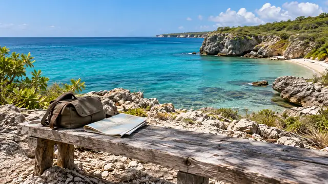
Port Cabo Rojo Shore Excursion
Independent shore outing adapted to a ship visit; confirm the route, meeting point and return buffer.

Cabo Rojo and Pedernales Private Transfers
Local transfers between agreed addresses and departure points; request a route-specific quote.

Playa Cabo Rojo
Coastal beach area; verify access and sea conditions.
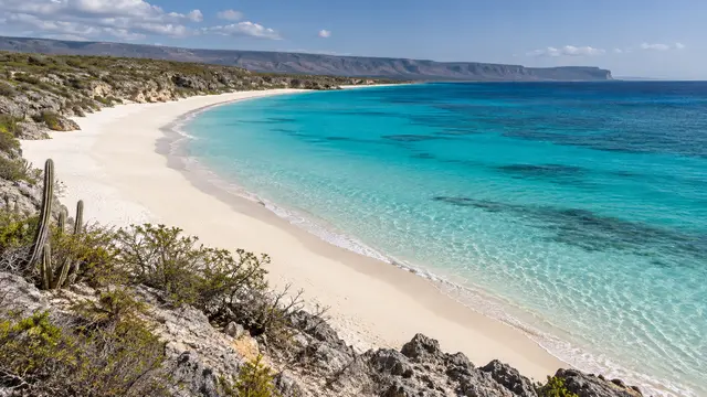
Bahía de las Águilas
Protected bay and beach. Pin is representative, not a landing point.
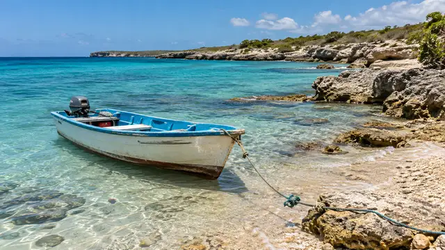
Embarcadero de Las Cuevas
Confirm the meeting instructions for your particular operator.

Puerto Cabo Rojo — referencia de marina
Mapped port/marina-area reference. This is not a verified cruise terminal entrance, public visitor entrance or pickup point. Confirm the exact authorized meeting point with your operator. A mapped point is not permission to enter. Confirm authorized visitor access; some areas are restricted.
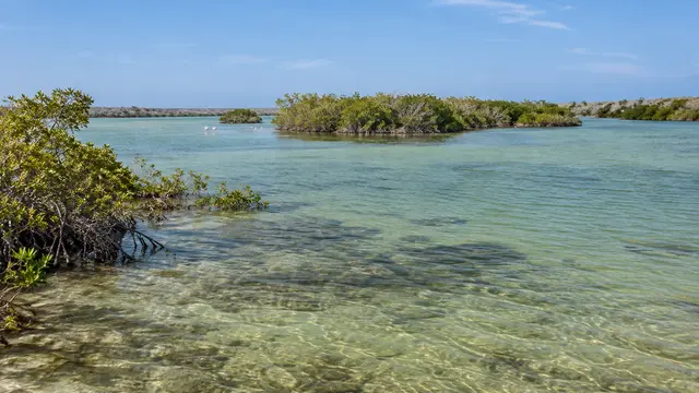
Laguna de Oviedo
Protected lagoon; pin identifies the lagoon rather than a boarding dock.

Mirador Hoyo de Pelempito
Visitor viewpoint; verify park and mountain-road access.

Balneario El Mulito
River recreation area; verify current access and water conditions.
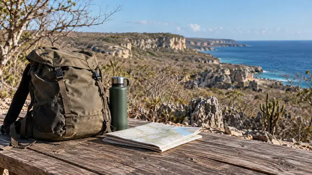
Boletería Parque Nacional Jaragua — La Cueva
Mapped ticket point near the boats; check current fees and hours locally.
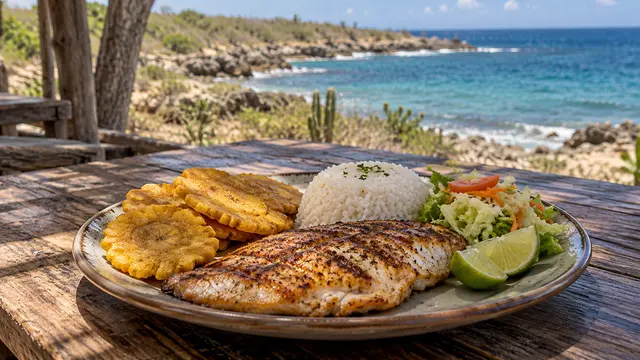
Rancho Típico Cueva de las Águilas
Beachside dining near the boat departure area; confirm meal service.
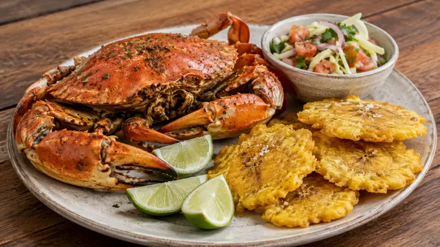
Restaurant King Crab
Ministry-listed seafood venue; current-operation reports conflict, so call before visiting. Current operation is unconfirmed; contact the venue before travelling.
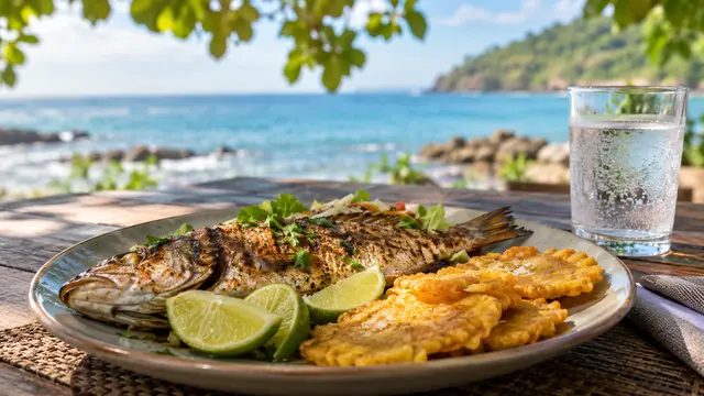
Navío Beach Club
Seafood restaurant and bar by Faro Miramar; check evening service.

Shop69 Pedernales y 369 Lounge
Restaurant and lounge on Avenida Libertad; ask about the current evening program.
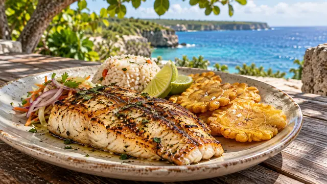
Xaragua Gourmet Restaurante
Restaurant on Avenida 27 de Febrero; ask for current hours and menu.
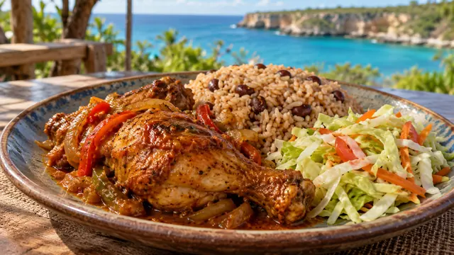
Restaurant Ibiza
Town restaurant near Avenida 27 de Febrero; confirm service.
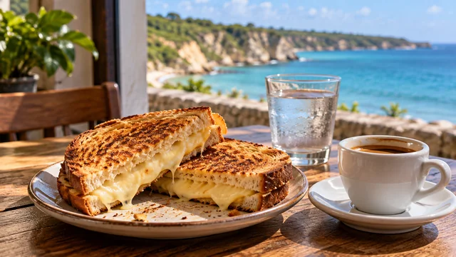
D Carmen Cafetería
Mapped café and restaurant on Braulio Méndez.

Mercado Municipal de Pedernales
Town market for local produce and everyday goods.

Supermercado El Gallo
Mapped supermarket near the market for trip supplies.
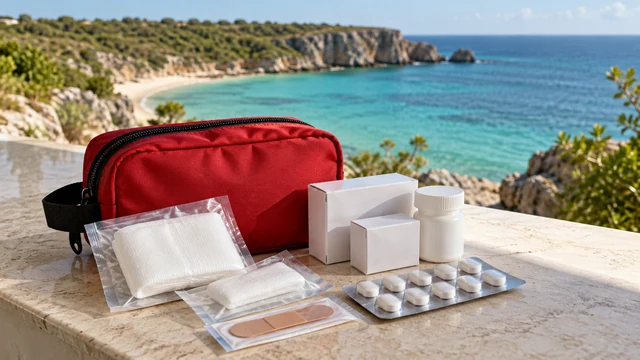
Farmacia Yune
Mapped pharmacy; opening hours and stock need confirmation.

Hospital Provincial Dr. Elio Fiallo
Provincial hospital listing; no specialty or emergency-capacity claim.

Banreservas — Pedernales
Mapped bank; cash availability and international-card acceptance are not guaranteed.
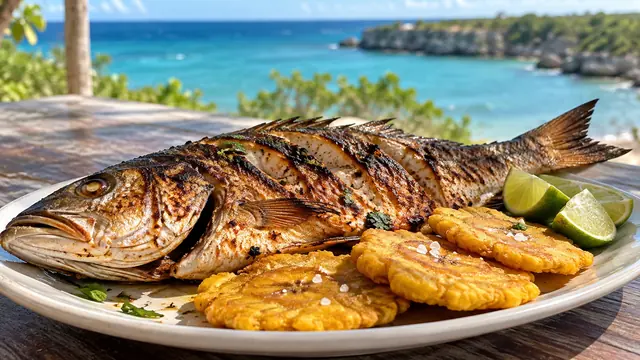
Restaurante Jalicar
Seafood and Dominican dining; confirm current service and entrance.
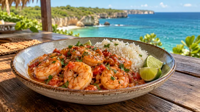
Terraza Comedor Perla Negra
Seafood and Dominican dining venue identified by the national tourism ministry; the mapped point is near the Miramar waterfront. Confirm current service and the correct entrance.
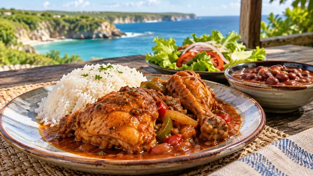
El Padrino
Mapped restaurant on the approach to the town center near the Total fuel station. Confirm the current menu and service directly.

Bárbara y Daniel
Independent town restaurant mapped with an Italian cuisine tag. Confirm the current menu and opening arrangements.
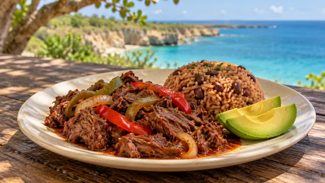
El Sazón D’Alex
Town restaurant mapped near Avenida 27 de Febrero. Confirm the current menu, hours and arrival directions.
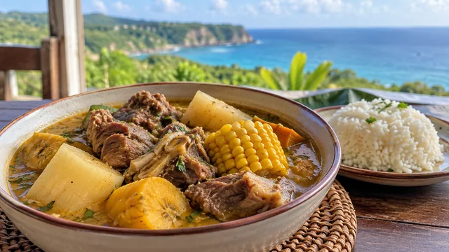
Comedor Madre
Local dining venue mapped near the Miramar waterfront. Confirm the current meal service and entrance.
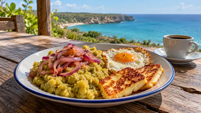
Cafetería Miguelina
Mapped town cafeteria and casual food stop near the central street grid. Confirm current service before visiting.

Pica Pollo Chino
Mapped casual food outlet near the central park and town library. Confirm the current menu and service.
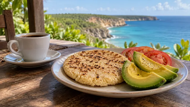
La Casona
Mapped town cafeteria on Avenida Santo Domingo. Confirm current opening and food service.
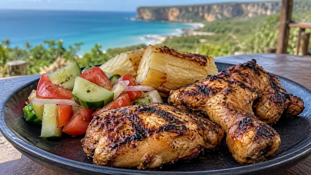
Allí Fast Food and Grill
Mapped casual food and grill venue on the town street grid. Check the current menu and opening arrangements.

D’Kika Comedor
Mapped small comedor and café in Pedernales town. Confirm meal availability and opening hours directly.
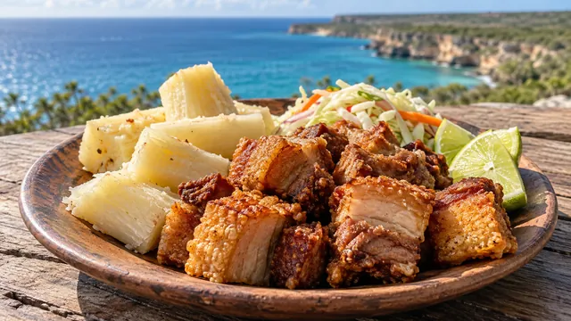
El Punto del Cerdo y el Pollo
Mapped casual dining stop on the northern side of the town center. Confirm the current menu and service.

D’Boss Cafetería
Mapped cafeteria close to Parque Central. A longstanding cafeteria name also appears in the official regional visitor guide; confirm current service.

D&M Cafetería
Mapped café near the town library and central park. Confirm opening hours and the current selection.

Delicias Charahazed
Mapped café near the library and central park on Avenida Duarte. Confirm current service and the correct entrance.

Brujo Café
Mapped cafeteria in the central town area. Confirm the current menu and operating hours before visiting.

D Dainel Café & Bar
Mapped café/bar near the police and fire-station area. Ask the venue about its current evening service, entry arrangements and program; no live-music schedule is assumed.

Pollera Yune
Mapped casual food outlet near the market streets. Confirm the current food service and opening hours.

Dabras Restaurante
Mapped restaurant on Avenida Libertad. A public directory carries a temporarily-closed signal while other listings remain present; current operation needs direct confirmation. Current operation is unconfirmed; contact the venue before travelling.
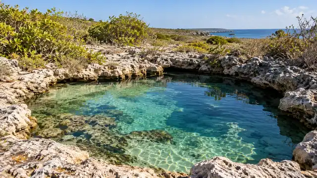
Pozos Ecológicos de Romeo
Natural water-filled limestone pools near the Cabo Rojo road corridor. This is a location reference, not permission to swim or enter underwater cavities. Confirm current access, local restrictions and water conditions before visiting.
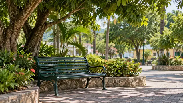
Parque Central de Pedernales
Central civic park beside the municipal area; useful for a town walk and orientation. Confirm any event arrangements locally.
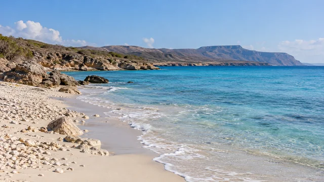
Playa de Pedernales
Town beachfront separate from Playa Cabo Rojo. Pin represents the mapped beach area; verify shore access, works and sea conditions locally, and do not infer safe swimming from a map.
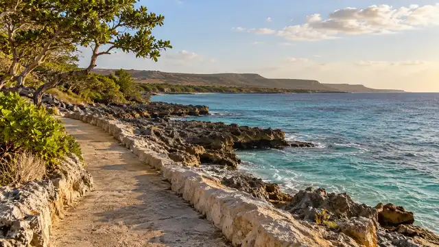
Malecón de Pedernales — paseo existente
Existing mapped waterfront path for coastal views. Other malecón and boulevard segments are tagged as under construction or closed; verify usable sections and respect barriers. The pin does not authorize access to the works or port grounds.

Parque Infantil Miramar
Small mapped neighborhood park near the Pedernales waterfront. Check the condition and availability of facilities on arrival.

Parque José Francisco Peña Gómez
Mapped public park in northern Pedernales, useful as a town-walk orientation point. Confirm current access and any local works.

Estación Total — Pedernales
Mapped vehicle-fuel station in Pedernales. Confirm the fuel type, current supply, payment method and opening hours directly before relying on it for a longer trip.

Estación Francis Gas
Mapped gas/fuel service on the eastern approach to Pedernales. Confirm the fuel supplied; the listing does not establish availability of petrol or diesel, operating hours or card acceptance.

Parada de transporte — Pedernales
Mapped local transport stop in the town center. Ask locally which vehicles use it and confirm the destination, departure point, fare and last return; no scheduled operator or timetable is asserted.

Politur — Pedernales
Mapped tourist-police office in Pedernales. Confirm office access and service hours locally; this point is not a verified emergency-response or dispatch location.

Farmacia Pedernales
Mapped town pharmacy. Confirm opening hours, availability of any medication and prescription requirements directly; no clinical or emergency service is implied.

Farmacia del Pueblo — Pedernales
Mapped pharmacy near the town health-service area. Check public access, opening hours and stock directly before travelling.

Western Union — Pedernales
Mapped money-transfer service. Confirm identification requirements, supported transactions, exchange availability and office hours directly; an ATM or cash withdrawal service is not guaranteed.
Ayuntamiento Municipal de Pedernales
Municipal government building in central Pedernales. Consult the municipality for public civic information; the map does not imply a staffed tourism desk or visitor facilities.

Puerto de Pedernales — zona portuaria
Mapped town port beside the waterfront, distinct from Port Cabo Rojo. Port and marina grounds may be controlled; no scheduled public ferry, tour boarding or unrestricted access is implied. Confirm any departure with your operator. A mapped point is not permission to enter. Confirm authorized visitor access; some areas are restricted.